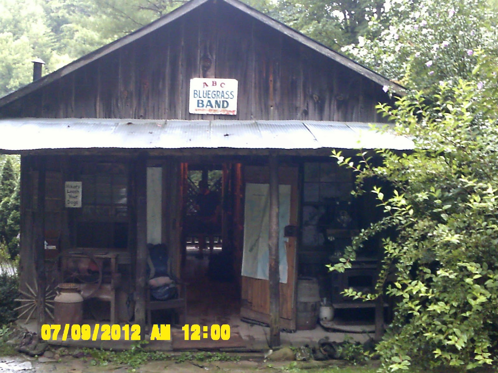
Year Three - Clingman's Dome Smoky Mountains Nat. Park to Roan Mt., TN
(192.7 miles)
For year three, I am lengthening my hike to almost two weeks. Each year of hiking has gotten progressively longer. After year two, I also started with the idea that I would not hike in the rain. Memories of my aching feet are still fresh in my mind. I realize, though, that avoiding the rain is probably impossible, but I promised myself that I WILL be more diligent about taking care of my feet. I've upgraded equipment to a to lighter tent - a Nemo Meta 1p Tent . It is not a free standing tent, but uses one trekking pole for support. I practiced pitching it in the back yard a few times to get the hang of it. It was a little tricky getting a consistently good pitch. I also upgraded to a lightweight alcohol stove, a titanium cook pot, and a Solo Stove, a wood gasification stove that burns twigs. The goal is ever lighter, more versatile equipment , which should help me to hike a little faster, although I really don't want to have any 'killer' days like I did last year. Also, after two years of mulling over the idea of a trail name, I have finally settled on the name, 'Triple M', which I wanted to be enigmatic until I felt ready to offer an explanation. I will use this to sign the shelter registers from now on.
We traveled from Rock Hill to Cherokee, NC on July 6th, 2012, and spent the night in a Comfort Inn. The casinos and tourist sites were well in evidence. As usual, I repacked my pack several times just to make sure I was completely prepared. I had called ahead for shelter space in the Smokies, which can only be done within one month prior. I called a couple days after that, and some of the shelters had already filled up, and one was closed due to 'bear activity'. I wanted to be out of the park in no more than three days if possible.
Day 1 - 7/10/2012 - Clingman's Dome to Icewater Springs Shelter (10.9 miles)
In the morning, we loaded up and headed into the park, stopping at the visitors center. I filled out a backcountry camping permit, which I had forgotten to do last year, listed my shelter destinations, and deposited it in the box. I kept my copy in the top compartment of my pack along with the trail guidebook. We took the road through the park and up to Clingman's Dome. I said goodbye to Ginny, and she snapped my picture where I had finished up the year before.
 |
At Clingman's Dome Preparing to Set Out
|
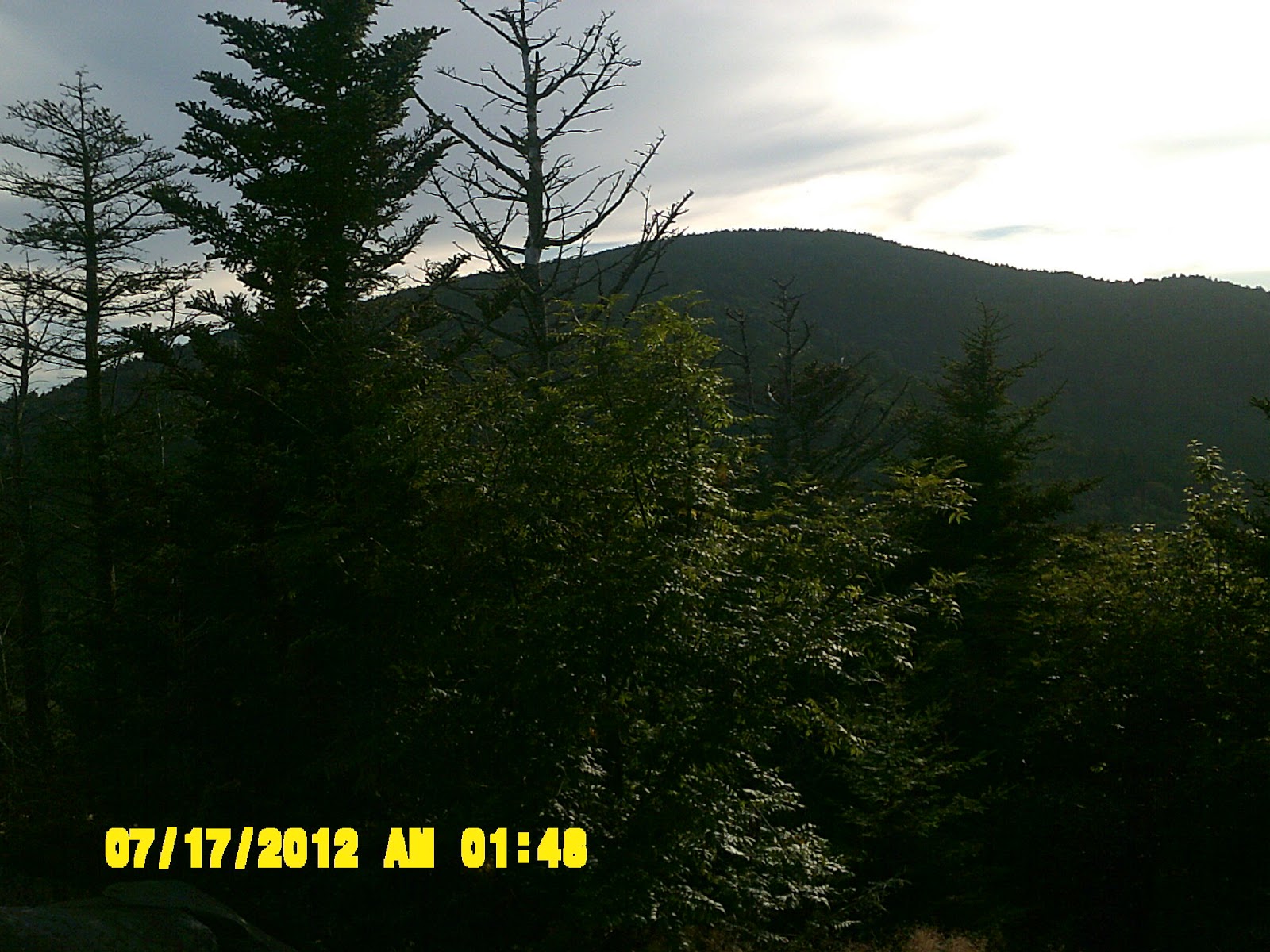
It was a little misty in the morning, but the weather looked good. I left at about 11 a.m., and took the path to the top, and went up the observation tower, which is something I had not done before. This first day's hike to Icewater Springs Shelter was not long, so I was not in a big hurry. There wasn't much of a view from the tower, as there was a good bit of fog.
 |
Ramp to the Observation Tower at Clingman's Dome
|
I hit the trail north. The weather was cooler than it had been recently. I passed several hikers coming up as I came down from the dome. I stopped for lunch near a cross trail to the Mr. Collins Shelter, and continued the hike over Indian Gap, and Newfound Gap. It began to rain the last two or three miles, but it mostly held off until I reached Icewater Springs Shelter.
Some day hikers, including one family, were in the shelter waiting for the rain to subside. The family intended to wait it out, but the rain only worsened. I tried to cook supper, but the alcohol stove was not working properly. Fortunately, I had a backup stove, which I will try to use again in the morning. I felt sorry for the day tripping family caught in the shelter. They finally took off in a downpour, and I knew they were in for a miserable hike back to Newfound Gap.
Day 2 - 7/11/2012 - Icewater Springs to Tri-Corner Knob Shelter (12.6 miles)
 |
Icewater Springs Shelter
|
I packed up and left Icewater Springs shelter at 8 a.m. There was a beautiful sunrise to the east, which a father and his six year old son, who had been with me in the shelter last evening, were enjoying. It seemed like a special parent/child moment, since the father was introducing the outdoor experience. I tried not to disturb them as I prepared to depart for the day's hike. I made breakfast, got water (note: all natural water, no matter how safe it looks, needs to be purified and/or filtered.), and took off
 |
Colorful Flowers Along the Trail
|
It began to drizzle and then to rain. I stopped at Peck's shelter about 12:30 p.m. for lunch. There was a young guy hanging out in the shelter. I didn't feel in a conversational mood, so I refilled my Nalgene's at the water source, ate a Builder's Bar, and continued on. The rain came down hard for the next three miles, and I passed a few other waterlogged hikers. Near the summit of one peak, I passed a group of four big bearded guys who looked like like a rock band or something. One of them asked me facetiously if it was "wet enough for me"? What I want to know is, how 'wet' is wet enough?
 |
Good View of the Path Going North
|
 |
The trail crosses a fenced area of forest free from invasive species
|
I took some nice pics early in the day, and arrived at Tri-Corner Knob shelter about 5 p.m.
 |
A View From the Trail looking West
|
There was one other couple in the shelter, who had started a fire in the fire place. They made room for me to hang up some of my things to dry. My camera was wet also, and had quit working, but I opened it up and set it next to the fire in the hope that it might recover overnight.
The couple was very nice. Their names were Ruffin and Jamie Shackelford, and they worked for Youth For Christ outdoor missions. I shared that I worked in a church, and we had some good conversation on spiritual matters. The whole 'outdoor missions' idea - that God is present in and throughout the beauty of creation - is something that I can truly relate to. I cooked a supper of Knorr rice, and the second half of my Mountain house meal. It had been a wet day, and I fully realized how unrealistic my thoughts on not hiking in the rain had really been.
Day 3 - 7/12/2012 - Tri-Corner Knob to Standing Bear Farm Hiker Hostel (18.4 miles)
Got up early - kind of a cloudy morning, but not raining (yet). I made breakfast, and checked to see if my stuff was dry. My camera was functioning again - yea!! I took time to visit a bit more with the Shackleford's - very devout Christian people. Much of my devotional and prayer life is alone, and only occasionally with a small group. We had a prayer together before I departed, which really got me started on the right foot for the day's hike. My schedule called for me to get to the Davenport Gap Shelter, but Ruffin told me about a hiker hostel just on the other side of I-40, and I thought if it was raining I might try to make it.
 |
At Tri-Corner Knob Shelter
|
 |
Up the trail under a fallen tree
|
As the day wore on, the thought of spending the night at the hostel sounded better and better. I hiked fast in the morning, and passed a trail runner at one point. Even though I am also a trail runner, it seemed very odd to encounter one at such a high elevation, and not very near anything as far as I could tell!
 |
Another nice view of the Smokies
|
 |
Plenty of Flowering Rhododendron
|
I had lunch at Cosby Knob Shelter at about 12:30 p.m. I remembered that this was the shelter that had recently been closed due to 'bear activity'. I kept my eyes open just in case any curious/hungry bruins should be snooping around. My boots were soaked again :-(, but I was determined not to let my feet suffer as they had the previous summer. I had brought along some moleskin this time. I would be sure to clean and powder my feet each evening, and would treat my feet first again in the morning, and apply the moleskin if needed.
 |
Another State Line
|
I plowed on past Davenport Gap, and out of the Smokies. I crossed the state line into North Carolina and to I-40 just beyond the Pigeon River. The trail crossed under the interstate, and there is confusion here as to how to get to the hiker hostel. I checked my trail guide, and wandered around a bit. It turns out that the trail goes up a steep set of stone steps next to the gravel road. I glimpsed a wraith like figure moving slowly at the top. It was another hiker, so I determined to follow along.
 |
How Far I've come in Three Days
|
I continued on north, until I came to the same gravel road again. I checked my guide book a few more times, and headed to the left, finally reaching the elusive Standing Bear Farm hiker hostel . It was not an impressive sight, little more than a ramshackle collection of shacks, with a big farmhouse to one side. Former thru-hikers who never made past this point, work it seasonally, while the proprietor, Curtis, lives in the house. It reminded me of a hippie commune, but I guess if you are planning on the full trail experience, it is a authentic, and definitely a step or two above any shelter. (Please note: I have learned that the hostel proprietor, Curtis, has passed away, and as of 2016 the Standing Bear Farm Hostel is no longer in operation)
 |
The 'Standing Bear' at Standing Bear Farm
|
 |
The Bunkhouse At Standing Bear Farm
The 'farm' has a bunkhouse, where I stayed, and a few rustic cabins if you need or want more privacy. It has a little camp store where you can buy stuff on the honor system, and pay for it when you leave, showers that need to be turned on externally, laundry, outdoor kitchen. I did get some fuel, showered, shared a pizza with another hiker, and drank some green iced tea. I don't know why, but I this is a beverage that always appeals to me on the trail.
|
There were an odd assortment of cats and dogs roaming around, but they were all friendly. I tried to dry out my boots and treat the hot spots on my feet with the mole skin. There was another solo hiker in the bunkhouse - trail name, "Black Jack". He was from Atlanta, very talkative, and as far as I could tell, hiked the trail full time. He had lots of tricks and tips for packing light, and living off the the trail.
Day 4 - 7/13/2012 - Standing Bear Farm to Roaring Fork Shelter (15.1 miles)
I ate breakfast, and left Standing Bear Farm at 8:30. My bunkhouse mate, "Blackjack", was keeping a video log of his hikes on YouTube.
I could tell Blackjack wanted to hike with me, but he was a talker, and part of the reason I get on the trail is to be alone. I don't really want to be rude, but I crave the solitude. We hit the trail, and had a steep initial climb to Snowbird Mountain. Since Blackjack was also a heavy smoker, he slowed way down, and I motored up to the top of the mountain ahead of him. There was a nice grassy bald summit, with a strange looking building that resembled an upside down flying saucer. I went up for a closer look, and saw all kinds of FAA warning signs. Good cell service, so I put in a call to Ginny.
 |
Looking to the Summit of Snowbird Mountain
|
 |
Strange FAA Tower atop Snowbird Mountain
|
I proceeded on to Max Patch, which I had read all about in my trail guide. I ate lunch around Hay Shelter before ascending to Match Patch. My feet seem to be toast again for the second year in a row - ugh!! On the way up to Max Patch, I saw many wild Blackberries, and I enjoyed slowing down to eat them on the way up.
 |
Heading Up to Max Patch Bald - Lots of Wild Blackberries
|
 |
Looking Toward the Summit of Max Patch
|
It was sunny at the top of the bald, with great views in all directions - wow!!
 |
View from Max Patch Bald
|
 | ||
View From the Top of Max Patch
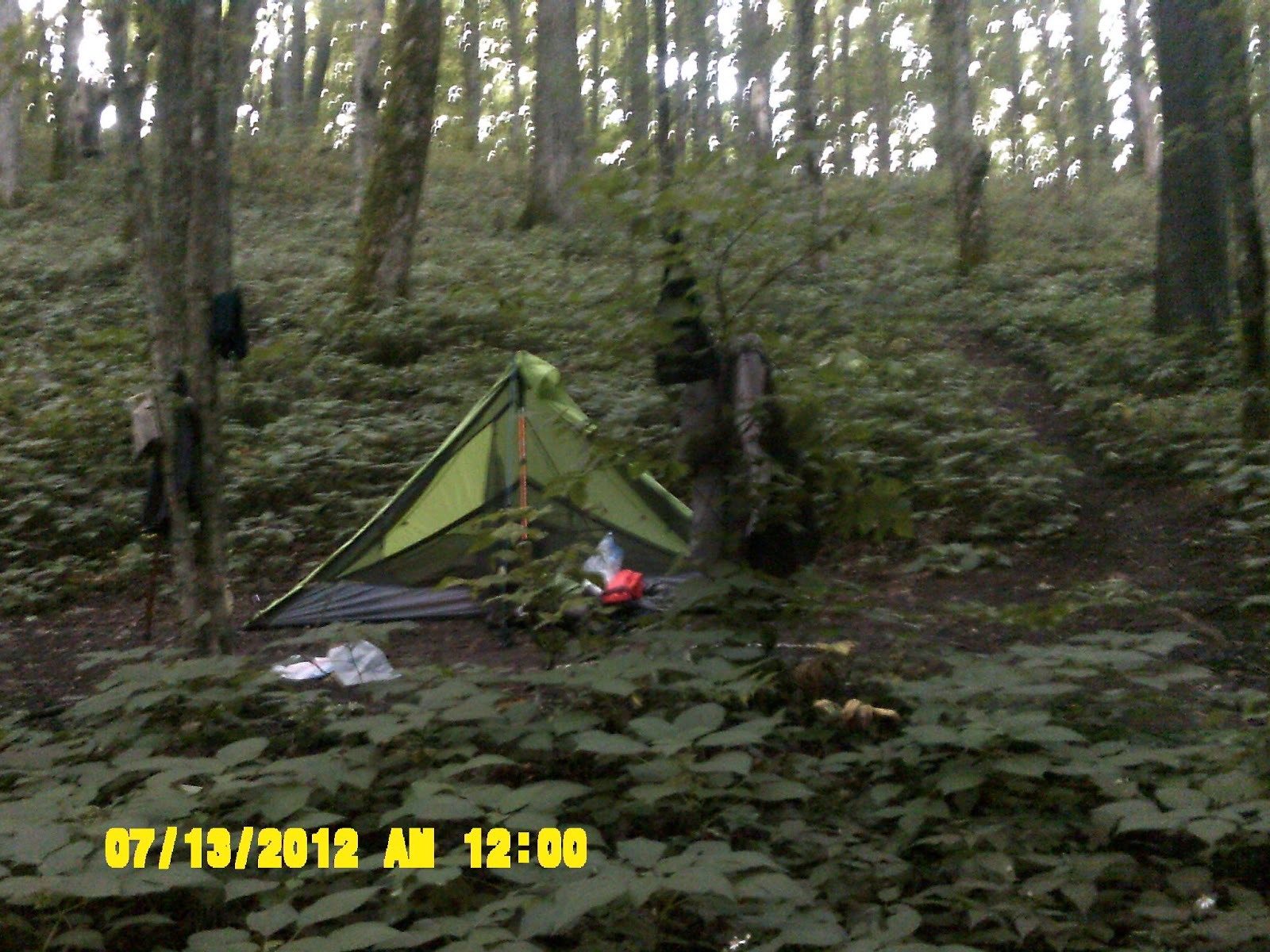
It was so beautiful I felt like stopping, and there are many people who do actually camp on top of Max Patch, but you need to have a good supply of water, as there is no source at the top, so I kept heading to the Roaring Fork Shelter. Upon arrival, there was no one else there, but I wanted to try out my new tent, so I pitched it near the shelter.
|

 |
The First Pitch of My New Nemo Tent by Roaring Fork Shelter
|
 | ||
Roaring Fork Shelter
Since I was trying out new things, I also decided to try my new Solo Stove wood gasification). I used cotton balls as a fire starter, and once it got going, it worked very well. I cooked up some seasoned rice, and mixed in some packaged salmon - kind of like Jambalaya - Pretty good!!! Later on after dinner, I tried to do something about my feet, but they are a mess again. :-(
|

Day 5 - 7/14/2012 - Roaring Fork Shelter to Deer Park Shelter (14.8 miles)
I broke camp and cleaned and mole skinned my toes. They felt and looked better, and left about 9 a.m.. I saw three hikers coming up the mountain as I was going down. I arrived at the summit of Walnut Mountain around 11:45 - ate lots of blackberries. I stopped for lunch at the Walnut Mountain Shelter which was on the other side just beyond the summit. The little cans of tuna salad and crackers are perfect - get more for next year.
 |
The Trail looking Back Towards Walnut Mountain
|
 |
Lunch Stop at Walnut Mountain Shelter
|
It was a long hike going on to the top of Bluff Mountain. I encountered a solo hiker about my age heading south. He had started at Roan Mountain at the Mountain Harbor Bed and Breakfast and hiker hostel, which was to be my final destination on this trip. He was heading towards Max Patch, and asked me about camping there. Since I was heading towards where he had come from, he suggested I look for a place called Grassy Ridge Bald in the Roan Highlands. I made a mental note of it, and headed on.
 |
The Path Heading Onward
|
Coming down from Bluff Mountain I passed two springs. I should've gone ahead and pumped some water, but the pump needed a new filter, and was getting harder and harder to operate. I ended up running out of water about two miles from the shelter. After three years, I've come to realize that water on the trail is like gold, a very precious commodity.
 |
My Campsite Outside The Deer Park Shelter
|
I arrived at the Deer Park Shelter about 5:15, and once again, I was the only one there. I immediately went to the water source and pumped some water. The shelter is small and dark, so I pitched my tent and made camp just to the left of the shelter.
 |
My Camp Kitchen - Cooking with My Alcohol Stove
|
I cooked a supper of black beans and rice on my Solo Stove. I found that it puts out a lot of soot which makes it a mess to clean. I think a little aluminum foil on the pot should help. I also hung my things out on a line to air out and dry a little. It started to rain, though, and had to take them in. Since no one was in the shelter, I was able to hang them in there. It rained hard, but the tent stayed dry. It was a good test.
Day 6 - 7/15/2012 - Deer Park Mountain Shelter to Hot Springs, NC (3.6 miles)
I awoke at 6:30 to a nice, bright sunrise right outside my tent. I made breakfast and started to break camp. The water source near the shelter was feeble, so I got everything together and hiked down to a better source on the other side of the trail. I finally got going around 10:00 a.m. It was only a short 3.1 mile hike to Hot Springs, with visions of 'real' food and cozy bed filling my thoughts.
 |
Sunrise From My Tent
I arrived in H.S. at about 11:30, and tried to make a call, but there was no cell service in town, which was very surprising. The trail goes right down the Main Street, so I walked into town. I bypassed Elmer's Sunnybank Inn hiker hostel in the hopes of finding something better. I felt like splurging just a little. At the end of the street just before you come to the bridge over the French Broad River is the Iron Horse Station Inn and tavern/restaurant. I inquired about a room, and they had plenty. The very friendly proprietor told me she had logged 600 miles on the A.T. She also said if I had come a day earlier, I would've been out of luck because of a large wedding party. They had a room ready for me (no. 211), at an excellent hiker discount. The hotel was very historic, dating from 1860!
|
 |
The Iron Horse Station Inn, Tavern, and Restaurant
I immediately took a shower, and had lunch in the restaurant - a Shrimp Po Boy, and very yummy white chicken chili, and drank lots and lots of lemonade. I can't believe how wonderful food tastes after several days of trail food. |
 |
My Bed in Room 211 of the Iron Horse Station
|
There was a laundromat right across the street from the hotel, so I washed all my stuff, visited an outfitters to resupply, which was also conveniently located next to the hotel. I walked down the street to the Dollar General and picked up a couple more things. There was a pub across the street from the hotel called the Spring Creek Tavern that I went to for dinner. I ordered the "Bob's Burger", which was the big hamburger on the menu - yum!!
 |
The Pub Across the Street from Iron Horse Station
|
I was looking forward to a good night's sleep and having breakfast in the morning at the Smoky Mountain Diner, which a hiker had told me about last year.
 |
Main Street in Hot Springs Looking to Where the Trail Enters the Town
|
Day 7-7/16/2012 - Hot Springs to Little Laurel Shelter (19.2 miles)
I had a good night's sleep in a nice, comfy bed, and got up around 6:30. I took another shower, got my pack ready to go, and headed down the street to the Smoky Mountain Diner for breakfast. I had the special. It was a good and big breakfast of country ham, gravy, 3 eggs cooked to order, hash browns, and a pancake. After three years on the trail, I can definitely say that backpack hiking burns more calories than just about any other physical activity I can think of.
 |
The Smoky Mountain Diner - GREAT Breakfasts
|
I left the diner about 8:30, collected my stuff at the Inn, and hit the trail. It was a absolutely beautiful morning, and after crossing the bridge, the trail follows the French Broad River for a ways before a steep ascent out of the valley to a place on the bluff called, 'Lover's Leap' (I wonder how that name was earned) There are some great views of the river and the town below.
 |
The Trail Runs Parallel to the French Broad River out of Hot Springs
|
 |
View of the French Broad and Hot Springs Down Below
|
 |
Narrow Foot Bridge Over a Creek
|
It was to be a long day of hiking - 20 miles - and I encountered more people on the trail than on any previous day. I tried to make it to Spring Mountain Shelter for lunch, but there were a bunch of not very friendly people there, so I tried to pump some water. It was getting more and more difficult, and becoming obvious that I definitely needed a new filter. I grabbed a quick snack, and headed on. I passed a very large group of hikers and a few other people as I pressed on to Little Laurel Shelter.
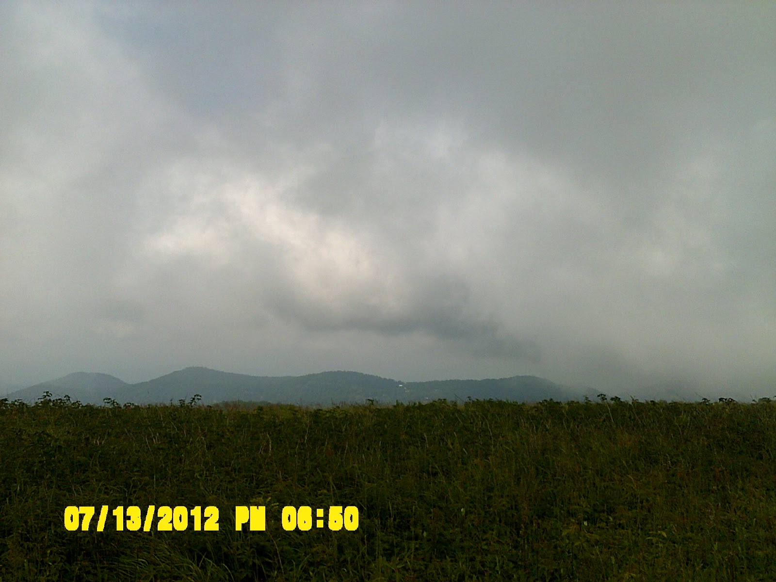
A storm came up as I covered some very unappealing ground, not very wooded (dead trees) and much of it the same, with the last four miles all up hill.
 |
The Little Laurel Shelter, with My Stuff all over the Table
|
I finally arrived at the shelter after 7 p.m., pumped some more water, and cooked and ate some supper - still no cell phone service - oh well.
 |
Mile Marker (From Springer) Behind Little Laurel Shelter
|
Day 8 - 7/17/2012 - Little Laurel Shelter to Flint Mountain Shelter (12.7 miles)
Broke camp and fixed feet about 8:45. It was an uphill climb for the first mile. There was a side trail to the left up to an observation tower on Camp Bald, with a clearing and cell tower just before it. Since I had been out of cell service for several days, I stopped to make a call. There was service...yea!... so I put in a call to Ginny to let her know I was still alive.
The lookout tower on Camp Bald was uphill, and it was a foggy morning, so I decided to hit the trail and press on. It was a rugged day of hiking. I passed a hiker who looked familiar, and I realized that I had stayed with him in a shelter the year before - the man with the hiking dog at Wayah Shelter! I realized it too late to say anything to him as he had already passed.
 |
Foggy Start to the Day
|
There is an optional bypass trail around the exposed ridge, but as the weather was good, I took the exposed ridge trail. It was VERY difficult, but some GREAT views. I stopped and ate lunch at a place with some spectacular views.
 |
The Rocky and Slick Trail up to the Ridgeline
|
 |
Fantastic View From My Lunchtime Perch
|
I came to the Jerry Cabin Shelter about 2:15, and took some water. It started raining, so I stayed in the shelter for awhile and visited with two young guys there until it subsided a little. Heading on, the trail crossed a grassy bald that was being mowed by the Forest Service. The trail was obscured, and I needed to ask one of the forest service guys on a tractor where it went. I ate many wild blackberries along the way. The trail through this section was a little confusing and hard to find, but I managed to stay on it somehow.
 |
Butterfly
|
 |
It's hard to see, but there are a whole swarm of butterflies in this pic.
|
I reached the Flint Mountain Shelter at about 5:45. There were two people in it - a young couple, Anna and Dan- who were tending a fire. I dried my socks at the edge of the fire ring, and cooked supper - leftover lasagna, black beans and rice. I found that Anna and Dan worked at a YMCA camp in upstate New York, and had extended time off to hike the trail. They offered me some green tea with wild blueberries, which I gladly accepted. I checked my guidebook, and decided I didn't really want to do 19 miles tomorrow to the shelter, but instead will try for a campsite at 15, and lengthen the day after tomorrow.
Day 9-7/18/2012 - Flint Mountain Shelter to Low Gap Campsite (14.9 miles)
I left early at 8:35, and felt good. It was very easy hike at first, with comfortable terrain. I got to Hogback Ridge Shelter at about 1:30 and ate lunch. I had decide to shorten this day somewhat, and look for a suitable campsite short of the next shelter.
 |
A Few Nice Flowers Along the Way
|
I crossed a nice meadow, and got rained on once again, and of course the wet boots, but I was becoming accustomed to that. I reached Low Gap (Aren't there at least one hundred 'Low Gaps'?), with a piped spring, some obvious tent sites, and fire ring around it. There was a couple there gathering water. I asked them if they were also planning to camp, but they were planning to head on.
 |
My Tent Site at Low Gap - First Time Outside a Shelter Area
|
 |
The Fire Ring and the Remnants of My Unsuccessful Attempt at Fire
|
 |
The Most Pitiful Bear Bagging Attempt in History
|
For the first time ever, I tried to set up camp apart from a shelter, but it was difficult to to. The ground was damp and low, and most of the wood was too damp to start a fire, but that didn't keep me from trying. I got my alcohol stove going, and cooked up some Mountain House turkey and mashed potatoes - pretty good - then attempted to hang my bear bag in near darkness. I was just hoping if any bears decided to show up, they would be really short and dumb!
It was a spooky night under the trees all alone. A couple of Barred Owls sang a duet somewhere over my tent about 2 a.m., and I imagined every twig I heard falling down from the canopy would smash me and my tent into pudding. Needless to say, it was not a great night's sleep, but I somehow felt good about doing it. I am looking at 15 miles tomorrow, and deciding whether I can squeeze in another hostel stay down the road.
Day 10 - 7/19/12 - Low Gap Campsite to No Business Knob Shelter (14.6 miles)
After an interesting night of hooting owls, a myriad of other sounds I couldn't identify, plus strange scratching and sniffing noises, I broke camp and headed out about 9:45. It was an uphill hike to Big Bald Mountain, but really neat at the top. I continued on to Big Bald Shelter, grateful that I had not tried to make it all the way yesterday. I had lunch in the shelter and signed the register.
 |
Flag On the Summit of Big Bald
|
 |
Looking Back to Big Bald
|
I continued down the other side of Big Bald, and passed the couple I had seen at Low Gap the previous evening. Their trail names were 'Blue Light' and 'Flo'. I visited with them briefly, and they told me they were heading to the same shelter destination as I was. Since I was hiking a little faster, and always craving the solitude, I said I would see them later and trucked on.
 |
The Fog on High Spots
|
 |
Just another Good View
|
There were a couple steep climbs and some high rocky places, then a steep downhill to Spivey Gap. After another big uphill along a very pretty little stream, I arrived at No Business Knob Shelter about 5:45. It was a crappy little cinder block shelter. There were no bear cables, and the water source was a good distance from the shelter.
I made a dinner of loaded potatoes mixed with packaged salmon. It was very filling. The hiking couple I had passed never showed, and I assumed they had decided to set up camp somewhere else. I thought I was to be by myself once again. It was a good day - an entire day without rain, but I could hear a big storm kicking up. Tomorrow it is a short 6.2 mile hike to the hostel in Erwin. It will be so nice to get a shower and do laundry.
The hiking couple - 'Blue Light' and 'Flo' - did show up late. Flo was the less experienced hiker of the two and had a bear bell attached to her pack, so I could hear them coming from my cozy perch in the shelter. I always thought such equipment superfluous, but then again, I am usually singing, whistling, and/or talking to myself. No wonder I have yet to see a bear! It was dark when they came into camp, but I helped Blue Light attach his bear bag, and we visited for awhile after they settled in.
Day 11 - 7/20/2012 - No Business Knob to Uncle Johnny's Hiker Hostel, Erwin, TN (5.8 miles)
Blue Light and Flo left before me, and I left camp about 9:30. They were moving slowly, and I passed them on the way to Erwin. I took some nice shots on the bluff overlooking the city of Erwin, and the Nolichucky River down below.
 |
AT sign on the Mountain Coming Down to Erwin
|
 |
City of Erwin From Up On High
|
 |
View of The Nolichucky River
|
I called Uncle Johnny's Hiker Hostel and Outfitters while still up on the hill just to let them know I was coming, and to get directions. It wasn't hard to find as the trail practically passes right by it. I arrived around noon and checked in. They have cabins and a bunkhouse, but I took the bunkhouse since it was cheaper. As it turned out, I was the only hiker in the bunkhouse, which was nice. I took a shower, did a load of laundry and watched a movie. It is great to relax.
The young couple I had met at the Flint Mountain Shelter three days earlier, Dan and Anna, showed up, and checked into one of the cabins. About 6:00 p.m. we caught a free shuttle from the hostel into town. The driver dropped us off at a shopping plaza, and we ate dinner at a Mexican restaurant. I had a shrimp Chimichanga - yum! We looked around, and bought some supplies the dollar store, and then walked across the street to Hardees, where I got a milkshake - double yum!
Afterwards, we came back to the hostel, and I watched another movie in the bunkhouse. There was a computer in the back, so I decided to log on and check my personal email. Normally I like to be totally unplugged on the trail, but I felt inclined to write a few reports to family and friends. I went to bed around 11:30 very happy for almost a whole day off the trail.
Day 12 - 7/21/12 - Erwin to Cherry Gap Shelter (17.5 miles)
I got up, ate breakfast, and left Uncle Johnny's Hostel at about 8 a.m. I moved fast early (That's what a day off will do!), and stopped at Curley Maple Gap shelter for a break around 10. I didn't see anyone until I got to Unaka Mountain. There was a great looking piped spring coming right out of the mountain. It looked so clean and refreshing, and I was so parched, that I drank the water without pumping it. My pump was really challenging my upper body and arm muscles anyway. I just prayed I didn't get sick, but I figured it had been filtered by the entire mountain.
 |
Pretty Little Stream on the Hike out of Erwin
|
 |
Looking Toward Unaka Mountain
|
 |
Piped Spring Right at the Base of Unaka Mountain
|
On the climb up Unaka, I passed a couple of day hikers. There were many switch backs going up the mountain, but the summit was really worth it, not for the views, but for the spruce forest. Many of the spruce trees in other parts of the forest had been killed off by some sort of invasive bug, but this mountain was covered with spruce. It was literally and figuratively, 'cool', and I could've just stayed up there and enjoyed it for a long time.
 |
The Trail up to Unaka Mountain
|
 |
The 'Cool' Spruce Forest on the Summit
|
 |
Another View of the Spruce Forest - Very Refreshing!
|
Coming down the other side, I passed a guy in the gap lying down on the ground reading a book, surrounded by gear, books, and other miscellaneous hiking debris. He barely acknowledged my passing, so I headed on to the shelter which was about a mile further down the trail. I arrived at the Cherry Gap shelter at about 5 p.m., and started to settle in.
About 6:00 p.m. the guy I had passed in the gap came along. His trail name was 'Squishy M. McTurtle Egg'. He appeared to be in his early twenties, and his unusual trail name did not mask his unusual character, because he turned out to be one of the most interesting people I had ever encountered. I shared a portion of my dinner with him, and found that he was conversant on a variety of topics.
His pack was loaded with books, and he knew and could identify all the varieties of mushrooms and flora on the trail. He was a graduate of the University of Georgia, and had recently taught environmental science at a high school in Georgia. He had also taught English in China, and was fluent in Chinese and several other languages. When I told him I was a church musician in a Presbyterian Church, he pulled a book out of his pack he thought I might enjoy on the 'History of the Church in the Middle Colonies From 1749-1800' ( a little light reading I suppose). His social skills were obviously not as developed as his intellectual skills, but I enjoyed conversing with him. He reminded me a little of the professor on Gilligan's Island, who could make a battery out of a coconut, and he did help me later with my attempt to rig my bear bag.
Day 13 - 7/22/2012 - Cherry Gap Shelter to Grassy Ridge Bald Campsite (20.8 miles)
'Squishy' left the shelter early, and I left about 45 minutes later. After a short time, I came to some pleasant meadows, and was captivated by the variety of plants and flowers. I saw some overturned mushrooms, and assumed 'Squishy' had been examining them ahead of me.
 |
The Cherry Gap Shelter
|
 |
Many Varieties of Flowers
|
 |
A Few More Examples of Color
|
I caught up to Squishy in a meadow, and he mentioned to me that the Mountain Spider Lillies were the first of that variety he had seen on his trip. We came to a gap at about 11:15 and parted ways. He was taking his time studying the plant life, and I wanted to get to the next shelter for lunch.
 |
A Red Salamander I almost Stepped on
|
I made it to the shelter about 12:30, pumped some water, and sat down for a bit. It was a nice shelter - The Clyde Smith Shelter. I studied my trail guide, and could tell from the profile that the climb to come up to Roan High Knob was going to be one of the longest and hardest climbs yet.
 |
View on the Ascent to Roan High Knob
|
 |
Another Nice View
The climb up to Roan High Knob was indeed one of the longest and hardest climbs yet. There were some steep rocky areas. I saw a couple sitting on a rock beyond Ash Gap who were obviously out for a stroll. They had no clue that the only way back was the way they had come. At the summit of Roan High Knob is the site of the former Cloudland Hotel - nothing but rocks now to mark where it formerly stood.
|
My destination was to be the Roan Mountain Shelter, but I should've checked my guide book, because I completely missed the side access trail to the shelter. I kept going, thinking it was still up ahead. Finally, I came to Hwy 230 and realized I had gone way beyond where I had intended to stop.
 |
Looking Back At Roan Mountain from Hwy 230 After Passing the Shelter Turn
|
I checked my trail guidebook for ideas on a suitable spot to camp up ahead. It was getting late in the day, and the next shelter was too far, so I decided on Grassy Ridge Bald. I remembered that this is the spot the lone southbound hiker I had encountered on day 5 had told me about. I crossed a bald, and asked a man for directions. He told me to look for Jamie the Goatherd, and if I didn't see him to just call out his name, 'Jaimieee!' I was actually hoping to not need to do that.
 |
The Path Beyond Roan Mountain
|
I went on past a goat pen, and encountered a man coming down the trail with bottles of water hanging all over his body. It was Jamie, who directed me to the side trail to Grassy Ridge Bald, and told me to camp in the saddle, which was just beyond the summit. There were plenty of wild blackberries and blueberries on the trail, and I was having a good time snacking on the juiciest ones I could find along the way.
 |
The Side Trail to Grassy Ridge Bald
|
There was a family of several generations already camped in the saddle. This was a secluded spot they came to often. I found a place to pitch my tent, but it was late, and I was really too tired to do it right. I couldn't get a tight pitch. The family had a campfire going and were kind enough to let me use their fire to cook my supper, and even offered me some smores! After such a hard day of uncertain hiking, it was actually comforting to encounter a family, and to briefly share their space. It was a rather uncomfortable night's sleep in a sagging wet tent, however, and another reason to plan for shorter days when possible.
 |
My Pitiful Tent Pitch On Grassy Ridge Bald
|
Day 14 - 7/23/2012 - Grassy Ridge Bald Campsite to Mountain Harbour Hiker Hostel B&B (12.8 miles)
Today is my last day of hiking , and a moderate day (12.8 miles), but with undoubtedly some of the most interesting scenery of the entire trip! I woke up at 6:30 to a bright sunrise, and went down the hill to pump some water. I had a very hard time getting my alcohol stove to light and stay lit - too much wind. Just a reminder to add a wind screen to my equipment list for next year.
 |
The Sunrise from Right Outside My Tent
|
 |
Some of the Extended Family Camping in the Saddle of Grassy Ridge Bald
|
I broke camp at about 8:45, took a few pictures on top of the bald, and headed to the trail intersection. I passed a huge scout troop at the next shelter (very noisy), and made an effort to stay ahead of them. I went on and saw a few day hikers, and crossed many 'balds' in the area known as 'The Highlands of Roan'. I thought I might be in the highlands of Scotland. Definitely the best place on my hike so far.
 |
On Grassy Ridge Bald
|
 |
Another View From the Summit of Grassy Ridge
|
 |
Fog Shrouded Roan Mountain From Grassy Ridge
I Read That It was a Haunted Mountain. It Sure Looks that way from here
|
I was passed by a fast moving section hiker, who was in the process of hiking the complete length of the trail for the 2nd time. I came to the summit of Hump Mountain, and headed downhill for the remainder of the trip. There were lots of wild Blueberries, Rasberries, blackberries, and huckleberries. I couldn't help eating many of them.
 |
Plaque on the Summit of Grassy Ridge Bald
|
 |
The Highlands of Roan (or Scotland?)
|
 |
Hikers Coming Up to a Peak on the AT
|
 |
View From the Top
|
 |
The Last Peak
|
 |
Fence on the Way Down in Roan Highlands
|
I passed the NC/TN border sign right on the trail and finally arrived at Highway 19E. I turned left and went down the road about 1/3 mile to the hiker hostel. The hiker cabin is above a barn in front of the B&B. It was nice, and I stayed in the loft for this evening. Ginny is picking me up tomorrow, and I arranged to move to the B&B for that night.
 |
Houston Ridge - and the Last Peak in the Highlands
|
 |
View From Houston Ridge
|
 |
Signs of Civilization
|
 |
The AT Crosses the State Line Back into TN
|
 |
A Sheer Rock Cliff Along the Trail
|
I took a shower, changed clothes, and went into town for dinner with a 'slack pack' section hiker from Knoxville. I ate a huge meal at Bob's Dairyland, and was stuffed with barbeque. I got a togo box to take back to the hiker cabin. There was another section hiker, 'Rock Lobster', staying in the hostel with me, and we watched the Truman Show movie. Later, another section hiker, 'Barry', came in, and we sat around talking about all aspects of hiking. It has been a satisfying trip, and another 200 miles down the trail!
 |
Mountain Harbour B&B Hiker Cabin
|
 |
Inside the Hiker Cabin
|
 |
My Bed in the Loft
|
 |
The Mountain Harbour B&B, where I Moved When Ginny Arrived
|
 |
Almost 200 more miles and A Successful End to AT Adventure Year Three!
|
No comments:
Post a Comment