April 8-10, 2021 - Fires Creek Recreation Area - Rim Trail Loop - 28 miles I have been itching to get out for a few multiple day hiking adventures ever since the weather had begun changing. Always on the lookout for new guides and resources, I went online and purchased a new book, Backpacking North Carolina, 43 Can't-Miss Trips, by Joe Miller. This hike was one of the longer ones in the guidebook, and in a semi-remote area of the Nantahala National Forest I had yet to explore.
 |
| Waterfall Adjacent to the Fires Creek Picnic Area |
This book characterizes the 21000 acre Fires Creek Recreational Area as a 'backpacker's playground', with 45 miles of trail options. The area is a self-contained horseshoe shaped valley in the area of Hayesville, NC, just west of Franklin, and very near to the Georgia border. The 28 mile Rim Trail traverses the surrounding ridge line in a giant loop. This is the longest continuous loop trail I have ever hiked, and it presented some nice and fun challenges.
Thursday, April 8, 2021 - Fires Creek Picnic Area to Unknown Campsite - 12 miles - I left home early to drive to the trailhead in Hayesville, which is about an hour and a half drive from my home. I was happy to pass the Deerfield Inn, where Ginny and I stayed at the conclusion of my year AT year 1 section hike. The Rim Trail begins and ends at the Fires Creek Picnic Area. The directions in my guidebook were not clear and/or accurate, but I was able to use my GPS to find the place. I arrived around 10:30 a.m., and immediately discovered that Fires Creek is particularly popular with fisherman. There were many people fishing by the creek. I first scouted for the direction of the trail at the large kiosk map. My book indicated the loop was 25 miles, but the sign at the trailhead said 28 miles, which I suspect is correct. The trails were numbered but not named. The Rim Trail is number 72. I got my pack and headed up the trail.
 |
| At the Fires Creek Picnic Area Lot |
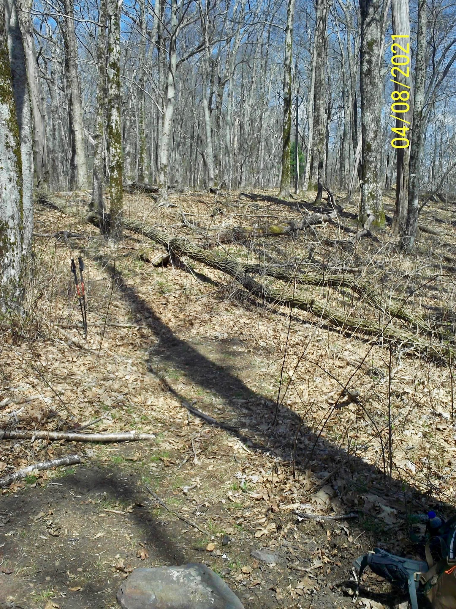
 |
| An Assist |
I crossed the creek, and took a left up the trail. It was a long hike to the top of the ridge, and I was hiking uphill for most of the day. The climb was not particularly steep, but steady. My goal is to do an 8 or 9 mile hike this day, but I ended up with over 12 miles.
 |
| The Initial Climb |
 |
Wand at a Trail Intersection
|
 |
| Blue Blazes Mark All the Trails |
The climbs were not over when I reached the top of the ridge. There were many more climbs and summits to cross, with a few good views of the valley below. The nice thing about this trail is that Fires Creek was always to my right. The trail had been fairly well blazed and marked by the Mountain High Hiking Club.
 |
| Signs of Spring |
 |
| A Few Views to the Left |
The Rim Trail is dry for the most part, so I became concerned with water and hydration as the day wore on. Fortunately, there are many old forest roads leading to the interior, and water is never too far away. I loved the challenge of being creative in looking for water and suitable campsites. Around 4 or 4:30, I began to see some water sources just off of the trail. I went down an old road for a ways, and made camp on a flat surface. According to my watch, I had climbed over 4000 feet. I had Mountain House Chicken and Dumplings for supper. It was OK, but needed to sit a little longer than the directions indicated to really plump out the dumplings.
 |
| My First Campsite On an Old Roadbed |
Friday, April 9, 2021 - Unnamed Campsite to Campsite in a Gap Beyond Johnson Bald - 9 milesMy goal today was to just hike as long as I wanted, and hopefully locate another campsite near water. I wasn't intending to hike as long as yesterday, so I took my time getting up. It had briefly rained in the night. My rainfly was damp when I got up, but everything else, including my clothes hanging in a nearby tree, were dry.
 |
| Climbing Back on the Ridge |
 |
| Views to the Left |
I broke camp around 9:30 a.m.. It was a mostly pleasant hike along the ridge at the far end of the loop. I wore my new fleece jacket as I began hiking, as it was a little cool early in the day. It warmed up quickly as the day progressed. There were some nice views of the valley below, and I passed several trail intersections along the way. I soon discovered that the mileage indicators in my trail guide were not conforming to what my GPS was telling me.
 |
| Old Road Bed Trail to the Left |
 |
| My Trail |
 |
| Shinbone Ridge Trail to Fires Creek |
It was a rather steep and sharp drop off to the left of the trail, with a more gradual descent to the right into the Fires Creek valley. Since I was in no hurry, I traveled down to several water sources. These spots were mostly marked by a convenient 'W' sign posted on a tree. The trails leading to these sources, however, were not well used and/or marked. I knew if I just bushwhacked long enough I would get to the sources. These 'springs' were trickles at best, but I wanted to stay completely stocked with water since the ridge was dry.
 |
| Pointing To Aqua |
 |
| Steep Drop |
 |
| The Chunky Gal Trail to the AT |
I passed the intersection with the Chunky Gal Trail. This is a 25 mile long trail that eventually connects with the AT. I remembered it from its distinctive name. It must be true that all trails are related. :-) There were some nice patches of Rhododendron tunnels along the way, along with yet more climbs. My legs were starting to feel like cement. I crossed Johnson Bald and arrived at a gap where the trail appeared to be re-routed.
 |
| A Pleasant Stretch of Rhododendrons |
I saw evidence of former campsites in the area and decided to make camp in one of them. There was no water source nearby, but I felt confident I had enough to make it through the morning. It was still early in the day, and it was a breezy ridge, so I was able to dry out my rainfly while I took a short nap in my tent. I later had a supper of Mountain House beef and mashed potatoes, which was quite satisfying. I am looking forward to concluding this hike tomorrow, which according to the trail profile would be mostly downhill.
 |
My Chosen Campsite
(Before) |
 |
My Chosen Campsite
(After) |
Saturday, April 10, 2021 - Campsite in Gap below Johnson Bald to FC Picnic Area - 7 miles
I slept fairly comfortably, and awoke around 6 a.m.. I don't know if it my imagination, but I seem to sleep slightly better in campsites at higher elevations, like ridges or balds. It was a little warmer than the preceding evening, with nice breezes across the ridge line. I got up while it was still rather dark and misty. I decided to make a video recording. It is totally black, and I don't know how to illuminate with my camera. I will share it here anyway, because just love the sounds of mornings in the woods, with melodious call of the Wood Thrush and other birds - my favorite time of the day!
I wasn't sure of the exact mileage to the trailhead, but I figured it to be about seven miles give or take.
I broke camp around 8:30 and headed down the trail. There were plenty of ups and downs yet to go, but it wasn't a bad hike. I began to see many more pine and spruce trees as I continued up and over mountains and descended to gaps. It made for a smooth and comfortable trail.
 |
| Crossing Peaks and Gaps on a General Descent |
 |
| Large Spruce in a Gap |
I noticed an interesting phenomenon as I proceeded down the trail. As I crossed one peak, I could see the next one across the gap. The next climb always looked more extreme, but seemed much smaller as I began to climb it. I know there is another metaphor for life here somewhere. :-)
 |
| Spruce/Pine Forest Trail |
 |
| Signs Always Help |
I passed through Squirrel Spring Gap, with a water source trail to the right, followed by Carver Gap Here, the Bristol Cabin Trail takes off to the right. This trail descends to the Fires Creek Valley, and the Bristol Horse Camp. Later, the Omphus Ridge Trail intersected the Rim Trail. The trail wand was broken, but I was able to discern the direction.
 |
| Wide Trail Back to Fires Creek |
 |
| Nearing the End of the Loop |
As I journeyed along the Rim Trail, I could view the descent as I looked to the valley view to the left of the path. There was one more steep descent with switchbacks as the trail had been rerouted. I finally arrived at the valley floor next to Fires Creek, and the forest service road taking me back to my car. This was a very enjoyable hike, and I had the feeling that I was completely alone and self-sustaining. I actually enjoyed the challenge of locating water sources and campsites off the beaten path. I recommend this to anyone interested in a simple, but challenging multi-day backpacking adventure.


No comments:
Post a Comment