This blog is intended for multiple day hikes, and this one is a minimum qualifier at best. It was an overnight trip covering more than 27 miles, and was a preparatory hike for my Year 8 AT adventure. I've gradually been upgrading equipment, trying to get lighter and more efficient. It's always taken me several days on the trail to adapt to new equipment, along with getting my 'trail legs' back. It is one thing to try out stuff at home, but quite another to test it in the field, and I wanted to mitigate the 'learning curve' by taking a short trip in advance of the big one. There were three major new pieces of equipment I needed to test: boots, sleeping pad, and water filter.
I had lost big toe nails following AT year 5, and had begun to think that foot problems are just a natural result of long-distance hiking. After AT year 7, I stopped at an outfitters in Lexington, VA, and purchased new Salomon light weight boots. The sales person there, who was most experienced and knowledgable, helped me identify the problem. These new boots were a bit more roomy in the toe box, so I wanted to give them a good test on the trail. Another item I wanted to try out was my new Nemo Tensor 2 OR sleeping pad. The item I was most interested in testing was a completely different water filter/hydration system. I was going from a Katadyn hiker pump filter to a Sawyer Squeeze/Mini filtration system.
I took both the Squeeze and Sawyer mini filtration systems with me. I also decided to trade in my trusty one liter Nalgene bottles for one liter Smart Water bottles, and also ditched my internal hydration reservoir in favor of a 'dirty water' bottle I could carry and filter on the go. The Nalgenes are durable, but weigh twice as much as the Smart Water bottles. The Smart Water bottles also take up less pack room, and seem to work better with the Squeeze system. The thought of going without a hydration reservoir was a little scary, but it saved much weight and provided additional pack space. I used the mini as an 'on the go' filter, and will carry a flexible 'dirty water' bottle to use as needed. It probably means I will need to stop more, but saves at least two pounds, and I can also use the 'dirty water' bottle with the Sawyer as a gravity filter in camp.
We are fortunate in the upstate of South Carolina to have several state parks, with long distance trail networks within a short distance. Two of these,
Kings Mountain State Park in South Carolina, and
Crowders Mountain State Park in North Carolina are connected by a single trail. The logistics of long distance hiking often require transportation to the trail, arranging shuttles. This hike had several advantages. 1.) It was relatively close, and I could just leave my car at the park. 2.) It was long enough - 15 miles out and 12 back. 3.) The terrain was tough enough (especially at Crowders) to simulate the AT and provide a challenge. 4.) The weather was fairly hot, which is likely on the AT in July.
Day 1 - Thursday, June 15
I sorted out my stuff in advance in color coded dry bags, and divided and vacuum sealed my freeze dried meals - generally breakfasts and dinners. The vacuum sealer is great, because it makes the meals smaller and more 'packable'. The bags also can accept boiling water, so I don't need to dirty up my pot. I packed 'heavy' with 8-10 days worth of food, since this is how far I plan to go before re-supplying the AT. I wanted to feel comfortable with the pack weight, which ended up not much more than thirty pounds total!
I had called ahead to both parks, to arrange camping at Crowders, and for parking at Kings Mountain. Kings Mountain State Park is about a 30-45 minute drive from my house, and I was told that I needed to stop at the ranger station to tell them what I planned to do, and to get a parking pass. The ranger station opened at 8 a.m., but I arrived around 8:30. It was a two story log structure. The door was locked when I arrived, but I could see a ranger at a desk inside, so I knocked on the window to get his attention. He was surprised that the door was locked, and let me in.. I needed to fill out an extended parking permit, and remit four dollars in the 'iron ranger' at the entrance to the campground are. was the first person who had ever asked to do that in his experience. I filled out an extended parking permit, and kept a pink copy for myself. He also said to check in at the 'trading post' by the campground when I returned.
 |
| On the Road Into King's Mountain State Park |
 |
| Kings Mountain SP Ranger Station |
I put the extended parking permit on my rear view mirror and headed to the campground. I parked at a large public parking area. The ranger had referred to it as the 'airport lot', because of it's huge dimensions. I got pack and poles and headed down the trail next by a little lake and spillway. I was somewhat familiar with Kings Mountain, having run and hiked there on many occasions, so I knew where to go. I was a little less familiar with Crowders Mountain, and took along a map of both parks to be on the safe side. It was a beautiful morning, but I knew it was going to be warm.
 |
| Car in the 'Airport Parking Lot' at King's Mountain SP |
 |
| Trail Descending From the Lot |
 |
| The Spillway At the Lake |
I crossed some nice footbridges by the lake. The trail paralleled a pretty little stream for a ways before coming to an intersection. One way was a 16 mile loop in the park, and the other direction was toward the Kings Mountain National Military park and a connection to the Ridgeline Trail to Crowders Mountain.
 |
| Stream Through King's Mountain SP |
 |
| Sign at the Trail Intersection |
 |
| On the Trail into Crowders Mountain State Park |
After entering Crowders Mountain SP, the terrain becomes more challenging. I passed the Boulders Access area, and crossed a state highway. Beyond the highway, there was a good climb to the Boulders Overlook, so I stopped for a few pics at the top. There were some peaks and gaps along the way. On one hill climb, I was passed by a trail runner - my first encounter with another human all day! There were periodic trailside benches along the way, and I decided to stop for lunch at one of them. After breaking out my alcohol stove, with its multi-fuel stand, I was mildly annoyed/amused that I couldn't quite remember how to put it together, even though I had used it on multiple occasions. After a couple failed attempts, I got the hang of it, and cooked up some ramen with chicken noodle soup.
 |
| View From the Boulders Overlook |
 |
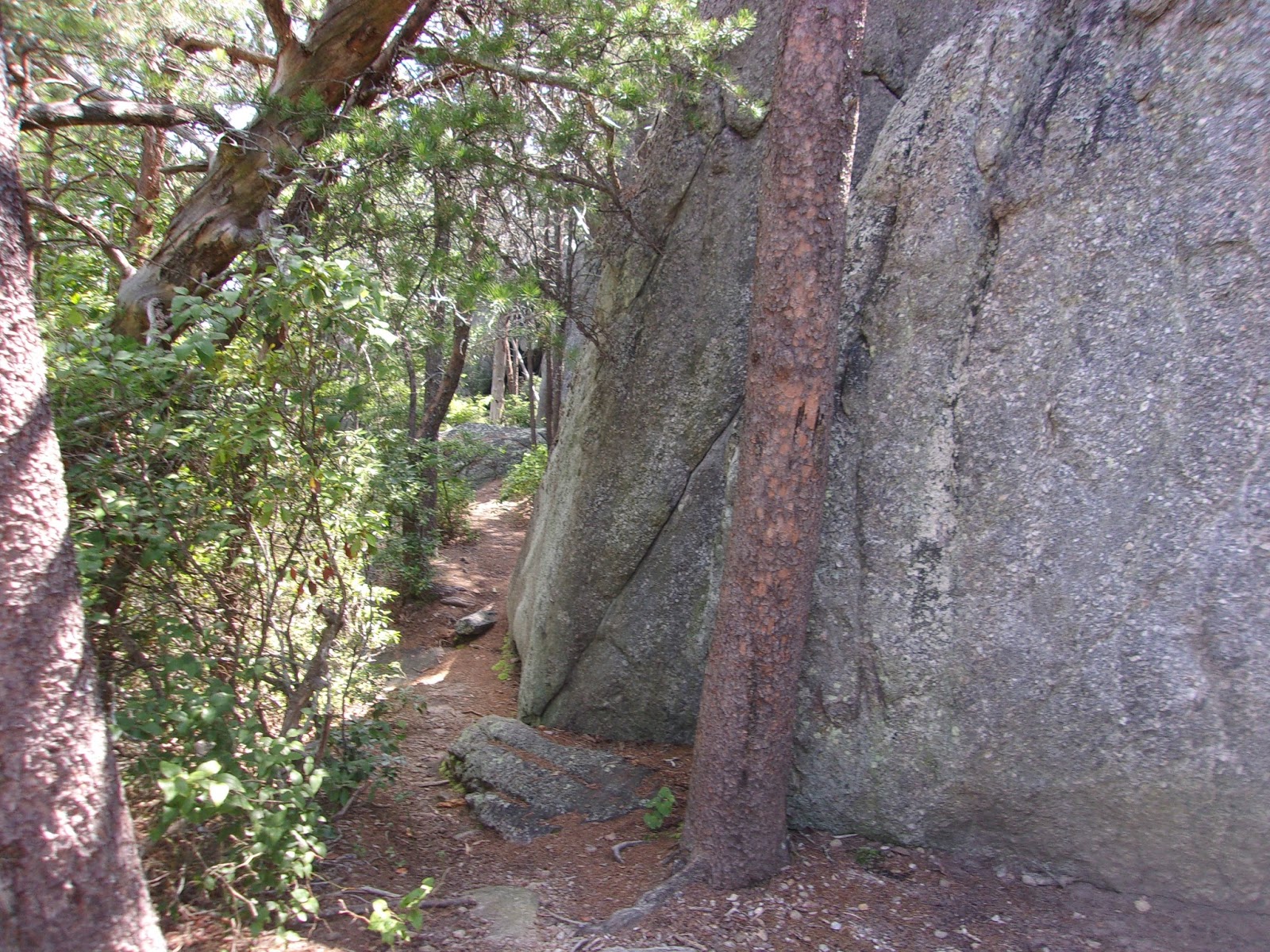
| Rocky Path (AT Lite) |
 |
| My Trailside Lunch Stop |
Feeling refreshed after lunch, I proceeded up the trail. There were were a few good climbs along the way. I crossed Pinnacle Road, and reached the access trail to the King's Pinnacle overlook around 2:30 p.m.. I thought briefly about going up to take a look, since it was still early, but I could hear there was a large group of people further up, so I decided to head on. I needed to check in at the Crowders Mountain Visitors Center before they closed at 4 p.m.
 |
| Designated 'Blaze' for the Ridgeline Trail |
 |
| Approaching the Visitors Center at Crowders Mountain SP |
There is a long descent from the King's Pinnacle trail intersection. At a trail intersection below the pinnacle I encountered an Indian couple consulting a map. We had a brief conversation about hiking, and the man informed me that he was planning to climb Mount Kilimanjaro. I had heard from others that this was a very strenuous hike, and he said he would probably need to do some preparatory hikes.
It appeared from my trail map that finding the visitors center would be relatively easy. Unfortunately there were a few twists and turns along the way, and I got a little confused. I followed the signs, asked a couple people for directions and arrived at the Visitors center a little after 3. I got a cold drink and completed a little form for the 'family backpack' campsite. I anticipated a peaceful night in camp, but the attendant told me that water line had ruptured at the group campground, and that she needed to move a scout troop to the family campground. This made me a little nervous, but it proved to be fine.
I hiked the mile or so up to the family 'primitive' campground. I was pre-registered for site no. 3. All the sites included a picnic table, a fire ring, and several tent pads. The sites were wooded and separated somewhat, so it felt isolated even though there may be other campers in the vicinity. There was water available from centrally located pump spigots, along with a pit toilet.
 |
| Sorting My Gear on the Picnic Table. |
 |
| The Central Water Spigot |
 |
| My Camp at Site No. 3 |
I pitched my tent on one of the tent pads in the site. The main goal of this trip was to check some of my new equipment, so I took time to inflate my Nemo Tensor sleeping pad. I had looked at a few Youtube videos. Even though the water was potable I filtered it through my Sawyer system as though it weren't.
Day 2 - Friday, June 16
It was a comfortable night in my tent on my new sleeping pad. In the morning I awoke and broke camp before preparing a breakfast of instant oatmeal. It was to be a slightly shorter day back to King's Mountain since I didn't need to detour to the Visitor's Center. I decided to head up the Pinnacles Trail, and make a side trip to King's Pinnacle, the highest point in the park with great views. I was in no rush and left around 9:30 a.m.
 |
| The Rocky Trail was a Good Test |
The trail was initially more challenging and rocky, which I though was a good test for the AT. Within a couple miles I arrived at the spur trail to King's Pinnacle and headed up to have a look. There was a large warning sign at the top that people had been killed or injured beyond a certain point. The rocks were too steep to ascend with my pack on, so I looked for an alternative way around. Finding none I returned to the original spot and removed my pack for the climb to the top.
 |
| A Warning To Hikers...Yikes!! |
 |
| A glimpse of a view while looking for an alternative route. |
 |
| Leaving My Pack Behind |
I climbed to the top and was rewarded with a spectacular vista. I had been here once before, so knew a little of what to expect. Crowder's Mountain is also visible from many miles around when driving the roads west of Charlotte. I was glad I had made this slight detour.
 |
| View From King's Pinnacle |
 |
| Another Shot |
I encountered a few day hikers on the way down and headed back down the ridgeline trail. The remainder of the hike was uneventful, although I did stop at a creek in King's Mountain to filter some drinking water. I arrived back at the 'airport parking lot' in King's Mountain around 3 p.m. I went to the camp store to turn in my form letting them know I had returned safely, and chatted with an older gentleman and a girl behind the counter. I also bought a couple cold drinks to celebrate.
In conclusion, this short hike felt like a great preparatory test for the AT, and an adequate check of new equipment and physical stamina. Any day of hiking and backpacking is a good day. I hope that this experience might smooth my return to the AT in a few weeks.


No comments:
Post a Comment